
Lieferzeit in ganz Litauen: 5-10 Werktage
Lieferpreis an die angegebene Adresse: 3 Euro
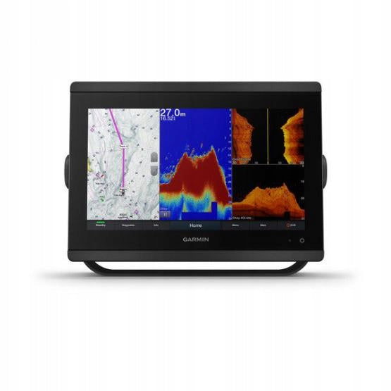
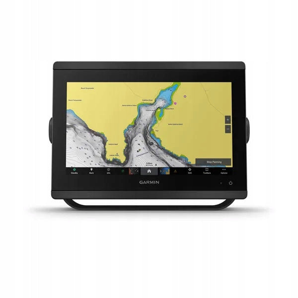
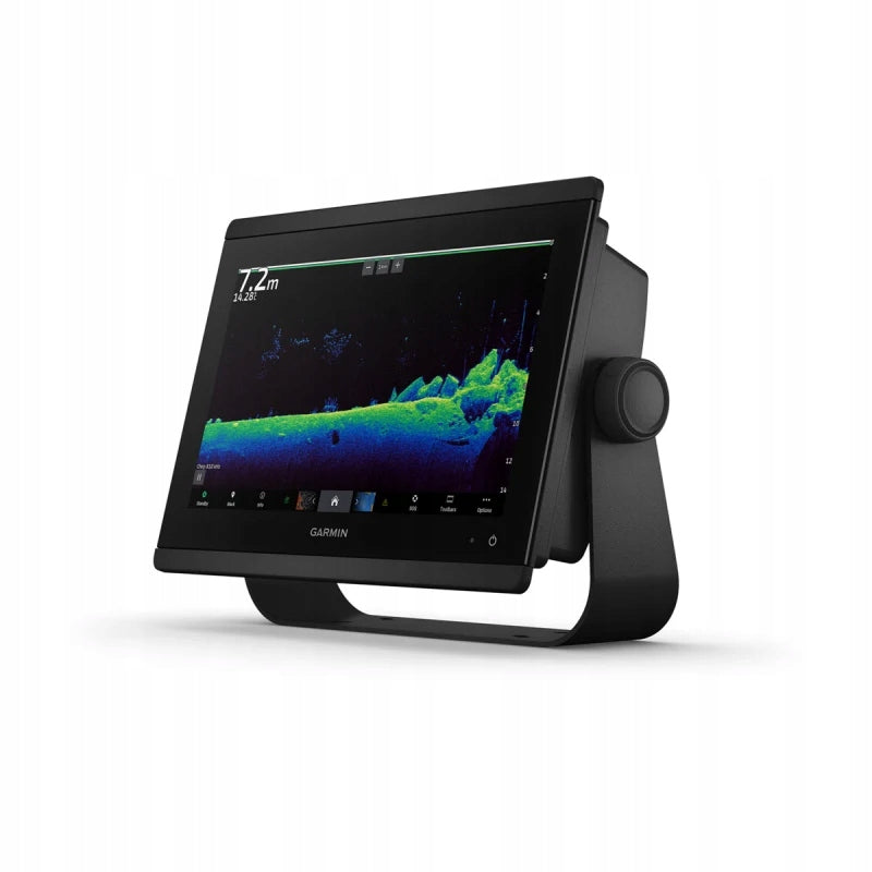


Trumpai apie prekę
Prekė: Eholotas GARMIN GPSMAP 8412 XSV. Kategorija: Echolotai.
- Gamintojas: Garmin
- Modelis: Garmin GPSMAP 8412xsv
GARMIN GPSMAP 8412 XSV
FOR ANGLERS, SAILORS AND PROFESSIONALS COMPETING IN REGATTAS WHO NEED PROFESSIONAL SOLUTIONS
Easy to use and install, a small device that combines the functionality of a navigation plotter and sonar with a multifunction display.
Wide viewing angle and excellent touch screen contrast in Full HD IPS display.
Navigate more confidently with preloaded maps of inland and coastal waters Garmin Navionics+™1.
You can easily build your marine system using the best network connectivity.
See what’s under and around the boat with the built-in sonar (transducers to be purchased separately)
From ANT® technology to Wi-Fi®, there are many ways to connect to your system.
Thanks to the SmartMode™ control elements, all the necessary information is available in one click.
Create your own dashboard
HD IPS TOUCH SCREEN
Available in 10″, 12″ or 16″ sizes, the display offers wider viewing angles and excellent readability, even in full sun and polarized sunglasses.
EASY AND ATTRACTIVE MOUNTING OPTIONS
It is possible to mount multiple screens flat in parallel and create an elegant glass control panel or perform recessed mounting for an elegant control panel.
GRID™ 20 REMOTE CONTROL
The optional easy-to-use GRID 20 input device allows you to remotely access and control the entire Garmin marine system intuitively.
SUPPORT FOR SCANNING AND TRADITIONAL ECHO SOUNDERS
The built-in traditional dual-channel CHIRP 1 kW echo sounder provides object differentiation, while ClearVü and SideVü scanning echo sounders provide visibility up to 300 m (1000 ft) under and around the boat at 260 kHz (requires a transducer to be purchased separately). Built-in sonar compatibility only available on xsv models.
PANOPTIX™ SONAR SUPPORT
Pair the navigation plotter with Panoptix or Panoptix LiveScope™ sonars providing an easy-to-interpret live image (converter to be purchased separately) that allows you to observe the area around the boat in real time.
GARMIN SAILASSIST™ SAILING FUNCTIONS
Displaying layline lines, guidance on the starting line, improved wind rose, direction and course lines above the bottom, as well as fields with real wind data, current/tide/hour slider, wind angle, direction and drift, wind speed and much more.
MARINE AND INLAND MAPS
Give your navigation plotter a fresh new look with optional Garmin Navionics+™ maps or high-quality Garmin Navionics Vision+™ maps with integrated coastal/inland area data, access to daily updates, Auto Guidance+™2 technology and more.
POLAR SAILING
Use the polar chart to check key data, m.in. The speed at which you need to move at a certain angle and wind speed, so you will know when to adjust the setting of the sails.
GARMIN MARINE NETWORK
If there are multiple Garmin devices available on the boat, you can share different data between them, e.g. maps, user data, radar and IP cameras.
NMEA 2000® AND NMEA 0183 NETWORKS
Connect to autopilot systems, digital switching, weather, FUSION-Link™ audio system, multimedia, VHF, AIS and many other devices from a single screen.
Activecaptain® app
The built-in Wi-Fi® module allows you to pair with the free universal mobile app and access OneChart™, phone notifications3 , software updates, Helm, Garmin Quickdraw™ community data and more.
INTEGRATED BLUETOOTH® AND ANT TECHNOLOGIES
Connect to your favorite devices such as quatix® marine watches, gWind™ Wireless 2 transducers, GNX™ Wind marine instruments and wireless remote controls.
ONEHELM™ FUNCTION
This feature combines all the operations and capabilities of third-party devices, such as EmpirBus™ digital switching, on a single screen.
CONTROL OF THE SMARTMODE STATION
Get quick access to the information you need in demanding situations such as mooring. You can turn on the network sonar, radar, cameras, multimedia and more.
POWER-POLE® TECHNOLOGY OF VITAL ANCHOR IN SHALLOW WATERS
By combining selected Garmin navigation plotters with the Force® bow motor and compatible Power-Pole shallow water virtual anchor system, you can access advanced boat control functions6 directly from the navigation plotter, including m.in. for intelligent, automatic anchor lowering, intelligent anchor JOG function, automatic lifting, anchor hydrodynamic resistance detection function or automatic navigation technology2 with anchoring function at the end of the route. Spend more time fishing and less time positioning.
INTEGRATION WITH CHARGE POWER-POLE SYSTEM
Power-Pole’s CHARGE yacht power manager works with compatible Garmin navigation plotters to extend battery life and amplify it when you’re on the water. You can charge the battery on the road, monitor power consumption, choose where power is allocated, control emergency start-up, and even transfer power between batteries — all from the display of the navigation plotter.
SENDING MESSAGES FROM THE INREACH® DEVICE
Pair the inReach5 satellite communicator with the navigation plotter and type your own messages using the keyboard on the multifunction display screen. Go to your contact list or enter your email address, inReach address, or phone number. You can also group messages by conversation, and use the interface like text messages.
Fishhub is a place that combines passion for fishing with modern technical solutions. Our motto “We take toys seriously” perfectly reflects the spirit of the brand. We offer a wide range of products that will make every fishing trip not only successful, but also comfortable.
Specifications
| Group | Name | Value |
|---|---|---|
| Parametry | Condition | new |
| Parametry | Invoice | With VAT invoice |
| Parametry | Brand | Garmin |
| Parametry | Manufacturer code | 010-02092-02 |
| Parametry | Model | Garmin GPSMAP 8412xsv |
| Parametry | Product weight with unit packaging | 3 kg |
| Parametry | EAN (GTIN) | 753759213480 |
| Parametry | Batteries included | no |